A few months ago, I released a song named, "Rain on the Tarn", and mentioned that I hoped to reach the subject location this summer.
Earlier this week, I hiked up through Glacier Gorge to Andrews Tarn, so I can count that desire fulfilled.
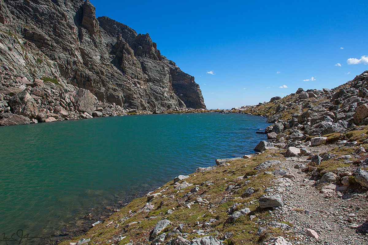
Andrews Tarn lies at around 11,500 feet elevation, just below Andrews Glacier, just east of the Continental Divide in Rocky Mountain National Park. This photo looks eastward away from the Divide and the glacier, towards the steep drop-off into the canyon below.

Andrews Glacier - not much more than a dirty patch of snow in late Summer - and getting smaller every year because of the effects of human activity on our climate. Above the glacier is a saddle that is part of the Continental Divide - the line that determines whether water drains into the Atlantic or Pacific Ocean.
Here's the tune - evocative of a different sort of day than the bright and windy conditions in these photos!
![From the eastern lip of Andrews Tarn, looking down the talus slope, with a blue sliver of The Loch [elevation 10,180 ft] visible about a mile away.](https://images.squarespace-cdn.com/content/v1/5005dbf284aebe9f4d09d4f5/1409876033036-MFPGTVURMGKY5G5CH6VE/image-asset.jpeg)
From the eastern lip of Andrews Tarn, looking down the talus slope, with a blue sliver of The Loch [elevation 10,180 ft] visible about a mile away.
Andrews Creek drains Andrews Tarn and joins Icy Brook running down from Lake of Glass to fill The Loch.
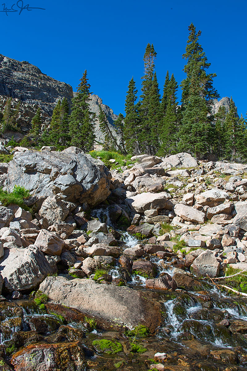
The middle reaches of Andrews Creek cascade over boulders below Andrews Tarn.
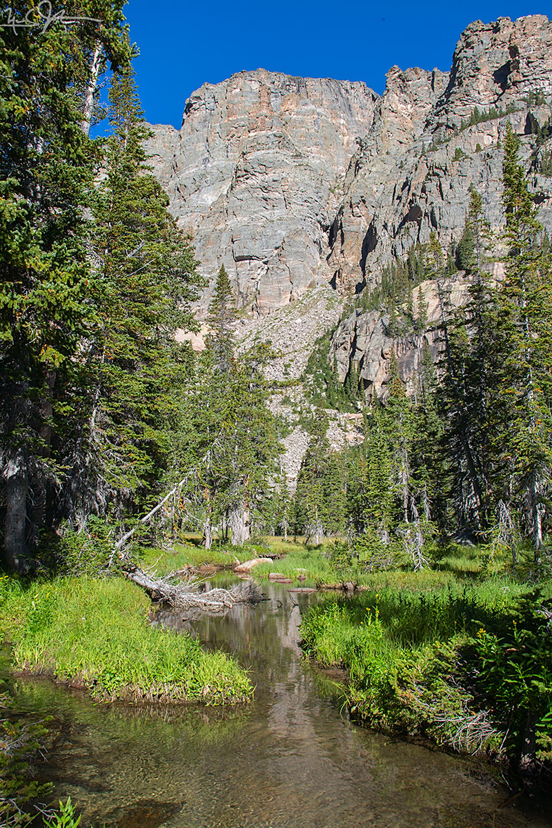
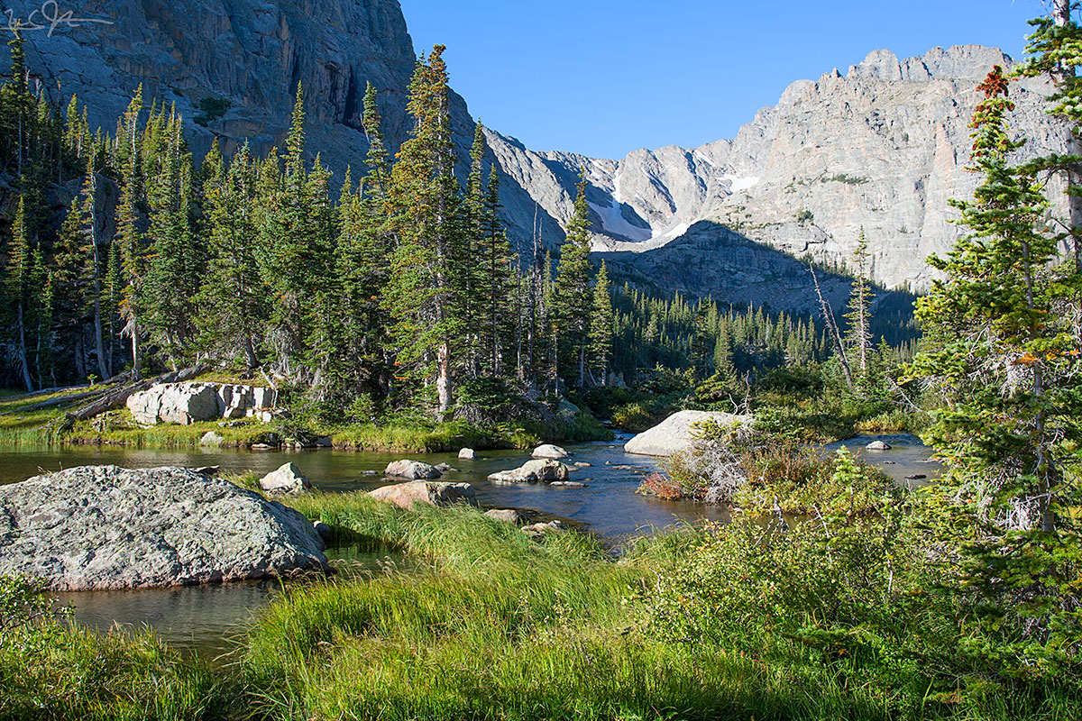
Andrews Creek takes a more leisurely meander through the lower reaches before joining Icy Creek.
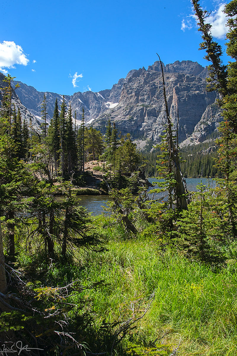
Looking almost due south across The Loch from its northern shore.
At the foot of The Loch, with Taylor Glacier and Taylor Peak at center and right, respectively.

Glacier Creek below The Loch.
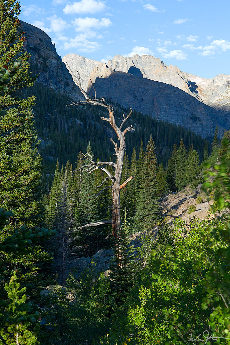
The Loch Vale Trail as it passes below the Glacier Knobs headed for The Loch.