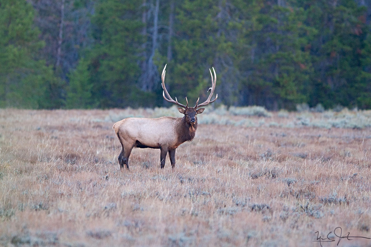
A few images from three of our greatest National Parks.
From the Snake River overlook, site of Ansel Adams' iconic photo of the Grand Tetons. The trees have grown up a bit since Mr. Adams shot this view.


"The Tetons and the Snake River", Ansel Adams, 1942.

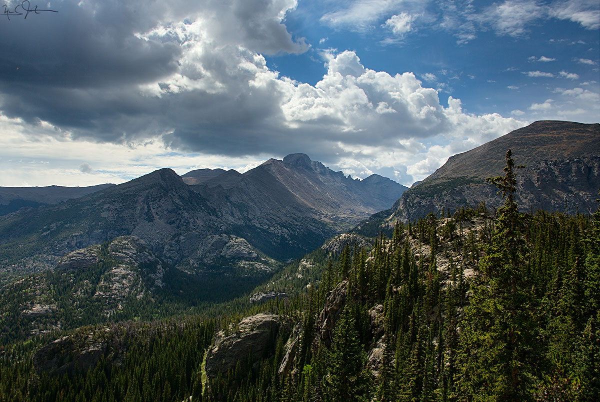
A view of the Grand Teton range from a bit further out to the east - Togwotee Pass.

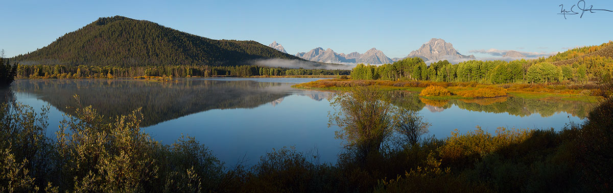
And from up closer at Oxbow Bend near the top of Jackson Lake.

String Lake at sunset.
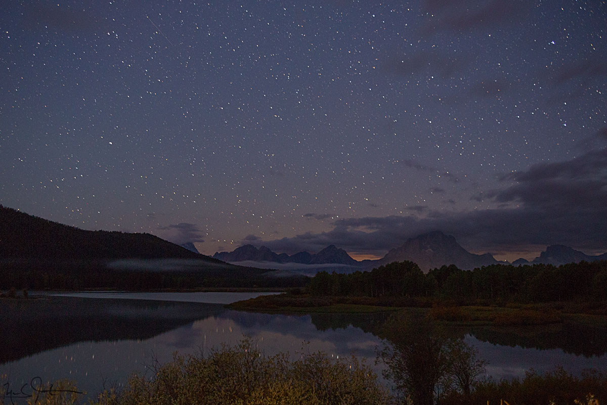
Oxbow Bend at 5:00 AM. Lots of stars . . .
Heading north from Jackson Hole into Yellowstone National Park:

The headwaters area at the southern end of Yellowstone National Park.

Rainbow at Kepler Cascades.

Old Faithful geyser.
And, continuing further north to Glacier National Park:
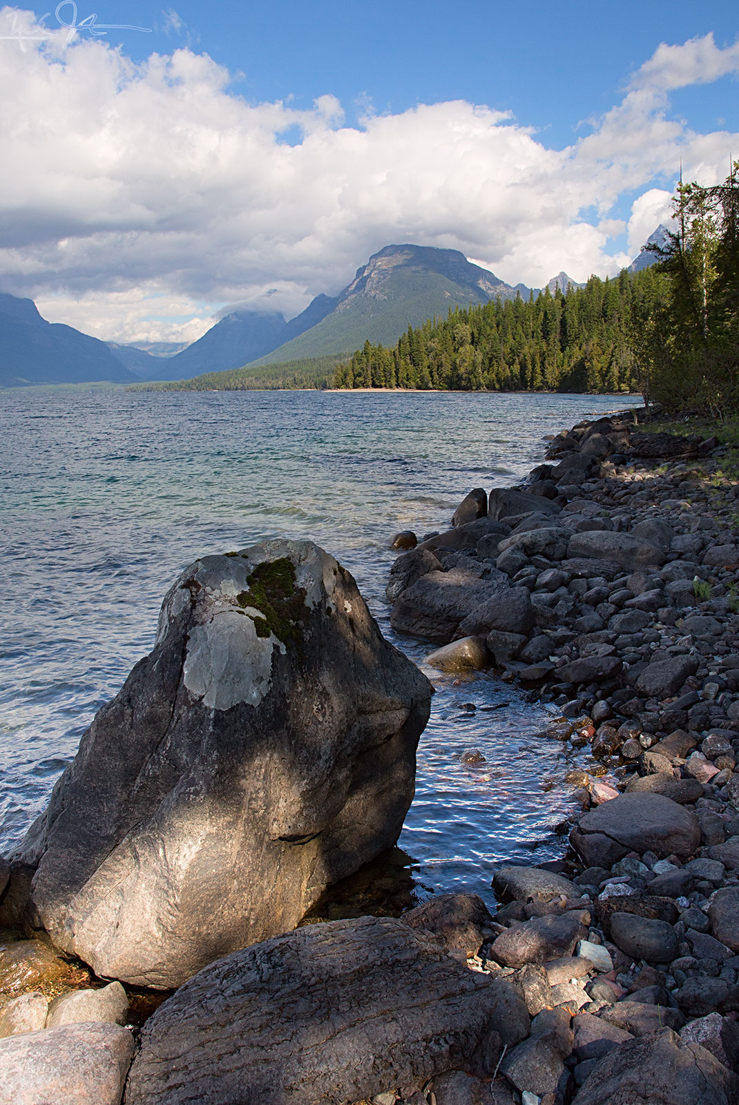
Along the shore of Lake McDonald, Glacier National Park.

Lichens.


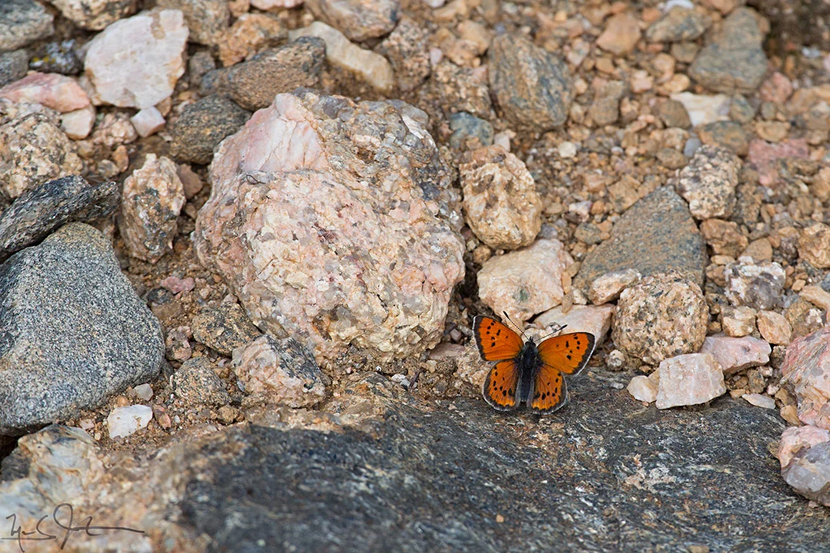
Nymphalis antiopa, common name "Mourning Cloak".