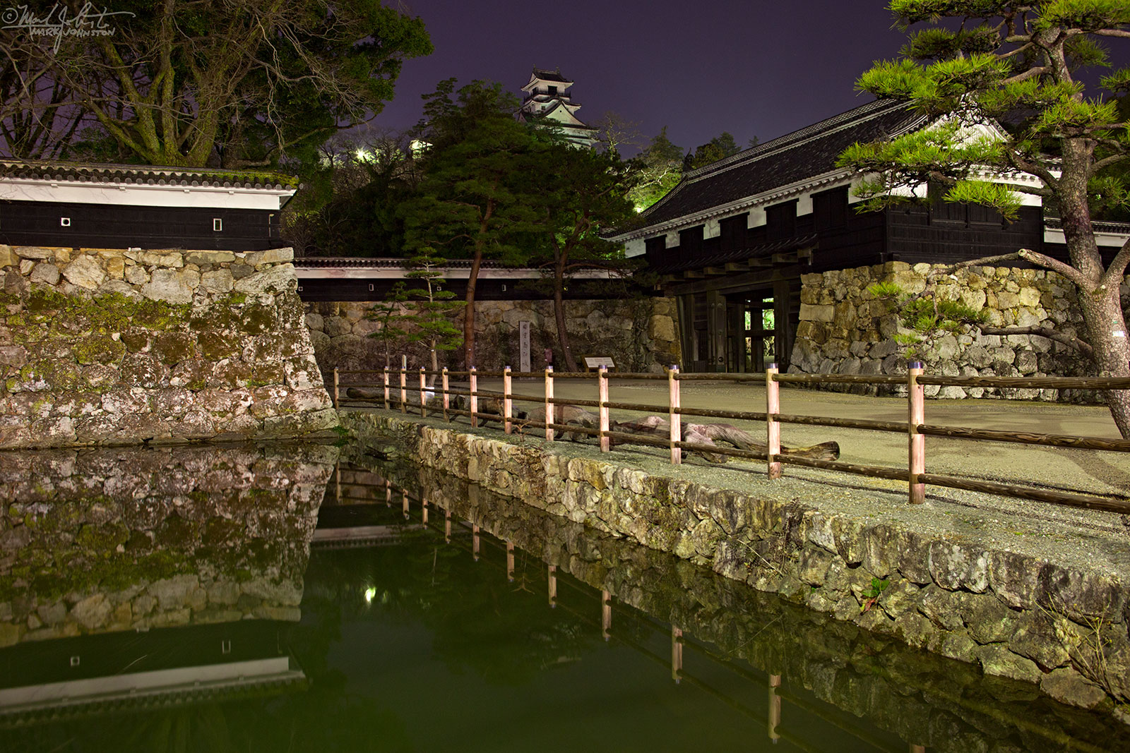
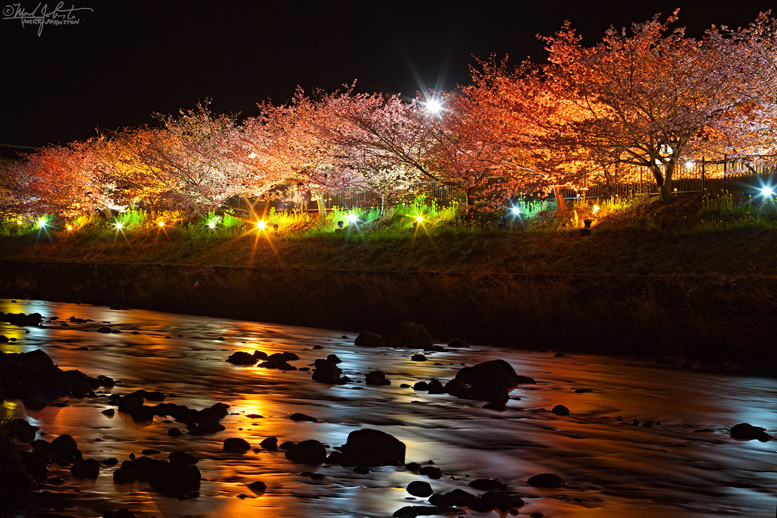
Same planet, different world.

Relocation

In the last 5 weeks, I have:

  • Moved out of my apartment of 6 years in Ito
  • Left Japan after 10 years, two-and-a-half months of residence
  • Shared goodbye meals with some good friends with the hope that it won't be too long before I see them again
  • Been living out of a suitcase, a hotel, and a rental car

During my residence in Japan, I had the chance to visit the USA at least a couple times a year, and during my years working with the Reno Air Races, I usually spent about two weeks in September immersed in American culture.

While in Japan, those visits to America always seemed like a dream, and while in America, Japan seemed like a dream. Maybe that's because I have so few friends who have straddled both worlds.

But I have always felt like both places had their special strengths and weaknesses, their unique attractions and flavors. And as I reached the decision during the early months of this year to leave Japan and return to the US, I began to focus more on those things that were hard to do in Japan, but easy to do in the USA:

  • Take photos before sunrise: Japan lies at the eastern edge of its time zone, and the sun rises during mid-summer before 4:30 AM. And because I never owned a car, and always used public transport in Japan, it was impossible to be where I wanted to be at sunrise. So, I missed half of the magic hours that photographers cherish, only being able to shoot sunsets, but no sunrises. And since I lived on the east coast of the Izu Peninsula, with a tall range of mountains to the West, shooting sunsets required some travel. In the USA, I can drive to where I want to be whenever I want.
  • Play music: we'll see how this goes. But my apartment in Ito was electronically very noisy. My building being one of the tallest in town, there were a lot of antennas on the roof, and I suspect they were the source of all of the hums and buzzes that I could never get rid of whenever I tried to do some recording in my apartment. I am hopeful that this won't be a problem when I move into a place here. And I also expect I can find some opportunities to play out in town - there were very few live music venues in Ito, and moving equipment was always a problem - it's hard to lug a guitar, much less an amp or anything else, on the bus or train.
  • I can express myself: even after 10 years in Japan, I don't feel like I have the cultural context to express myself the way I can in American English. Not surprising, but still it is a pleasure to be able to speak with shades of meaning, and be playful with my native language, where I may have been only slightly better than, "See Spot run. Run, Spot, run!" when speaking Japanese.

Do I miss Japan? Every day.

Will I go back? I certainly plan to.

But in the meantime, there is lots to do here to get settled again. I feel lucky to be where I am in Colorado - from here in Boulder west across the Rockies into the Four Corners and down into Arizona is an area that contains some of my favorite territory in North America. I am lucky to be able to live here.

Exploration

I have already had some great hikes, and although my best camera gear is in storage awaiting delivery when I am able to receive it, I have been able to scout some places that I want to return to again.

This morning, I left my hotel at midnight, and drove an hour to the trailhead leading up to Long's Peak - one of Colorado's 53 so-called "14-ers" - mountains whose summits exceed 14,000 feet above see level.

I met up with two new friends from Denver [thanks, Glenn and Marble!], and we climbed through the darkness starting at 2:00 AM. By 3:00, we had climbed from about 9,400 to 11,000 feet and were above the tree line.

We were not alone: the parking lot was nearly full and there were lots of other hikers on the trail, getting an early start for the summit. I took this photo at 3:04 AM - the light traces from the headlamps of climbers bobbing in the darkness like giant fireflies.

​3:04 AM: Headlamps of hikers appear like giant fireflies as they pass a stela marking the route to the summit of Long's Peak. Orion's Belt (three equally-spaced stars in a vertical line) floats above the horizon at right.

3:04 AM: Headlamps of hikers appear like giant fireflies as they pass a stela marking the route to the summit of Long's Peak. Orion's Belt (three equally-spaced stars in a vertical line) floats above the horizon at right.

By 4:00, we had reached 11,500 feet elevation, and the point where the trail to Chasm Lake, our destination, separates from the route to the summit. And by 4:30, we were approaching the Lake, and I turned around to shoot this image of the approaching sunrise.

4:34 AM: About a quarter mile from Chasm Lake, looking east, and back from whence we came, towards sunrise.​

4:34 AM: About a quarter mile from Chasm Lake, looking east, and back from whence we came, towards sunrise.

I had just enough time to climb the last 500 feet or so over a hump of slickrock to race around to the east side of Chasm Lake to be in position to shoot this panorama as the sun hit the face of the Longs Peak range.

5:15 AM: The rising sun hits "The Diamond" - the east face of Longs Peak - in the distance at right, reflected in Chasm Lake.​

5:15 AM: The rising sun hits "The Diamond" - the east face of Longs Peak - in the distance at right, reflected in Chasm Lake.

After so much climbing in the dark, it was nice to have the sun, and I shot a few more photos during the descent back to the trailhead, arriving there at about 9:30 AM. From there, it was an hour's drive back to Boulder and a nice nap!

5:50 AM: Columbine in bloom at about 11,700 feet, on the descent from Chasm Lake.​

5:50 AM: Columbine in bloom at about 11,700 feet, on the descent from Chasm Lake.

6:00 AM: Wildflowers and a mountain stream just below Chasm Lake.​

6:00 AM: Wildflowers and a mountain stream just below Chasm Lake.

Yellow-bellied marmot.​

Yellow-bellied marmot.

7:20 AM: Still above the tree line, descending through 10,800 feet. Wildflowers and a route marker.

7:20 AM: Still above the tree line, descending through 10,800 feet. Wildflowers and a route marker.

8:00 AM: Back in the shade of the forest. Still an hour and a half to reach the trailhead.​

8:00 AM: Back in the shade of the forest. Still an hour and a half to reach the trailhead.

Blossoming Cherry Trees at Kawazu

I posted some photos I have taken during a few trips to Kawazu to see the cherry trees there, which are among the first to blossom each year on Japan's main island of Honshu.

I have been living in Izu for 4 years now, and this is the first time I have been able to see these trees in bloom. Every year up to now, I have been traveling during their peak season. Last year, I was determined to go see them, but the one weekend I had in Izu between business trips and work in Tokyo, the weather was truly awful with typhoon-like winds and heavy rain.

So I was really happy this year to be around and to have some good weather that made for good viewing and photography.

​Looking upriver with blossoming cherry trees extending for several kilometers on each side.In the background, the mountains around Amagi, the highest part on the spine of the Izu Peninsula, where I spent many happy hours hiking.​

​Looking upriver with blossoming cherry trees extending for several kilometers on each side.

In the background, the mountains around Amagi, the highest part on the spine of the Izu Peninsula, where I spent many happy hours hiking.​

Cherry blossoms.​

Cherry blossoms.​

​
​The trees are illuminated on certain evenings.

​The trees are illuminated on certain evenings.

Spring is really just around the corner. I have a few weeks of travel outside Japan ahead of me, but by the time I get back, the weather will be getting warmer and it will be my favorite time of year.

A visit to Kochi Prefecture

I've lived in Japan for ten years, and am sad to say that I have never been further south and west than Kobe - only about 360 km from Ito - maybe 2.5 hours on the bullet train. Friends from the States often ask me if, since I live in Japan, I have plans to travel around Asia. I always say that there are still so many places I want to see in Japan, and I fly so often for work, I would rather just get on a train or a bus and go somewhere in-country.

So last weekend's visit to Kochi Prefecture, in the Shikoku region was a new distance record to the south for me.

Kame Izumi Sake Brewery

The unassuming facade of the Kame Izumi sake brewery.  But - - - magic happens inside!​

The unassuming facade of the Kame Izumi sake brewery.  But - - - magic happens inside!​

The inside is rather unassuming as well, now that I think of it.​

The inside is rather unassuming as well, now that I think of it.​

Almost every year, a group from my favorite pub in Tokyo visits the brewery of one of Japan's best makers of "nihonshu" - what most people would just call "sake". We do a tour of the brewery, try some of the results of the brewmasters art, and have a great dinner together before heading back home.

This year, we visited the Kame Izumi ["Turtle Spring"] brewery. After one-hour flight from Tokyo's Haneda airport and another hour on the bus, we arrived at an unassuming cluster of old buildings nestled up against the hills that lie between the town of Tosa and Tosa Bay.

The "toji" or brewmaster, Saibara-san, met us outside and ushered us into the brewery. It was dark and cool inside, and you couldn't tell where one building ended and another began; all a maze of tanks, filters, and hoses among the old wooden beams and trusses. Shafts of afternoon sunlight flowed in through the windows and cracks in the planked walls.

We have to take off our street shoes and put on slippers when stepping across the threshold to the "inside". Nothing big enough for my size 11-and-a-half feet, so the slippers end at the beginning of my heel.

Saibara-san shows us around, explaining all the way. I have been asked to take photos, so I linger a bit behind, and wait for my co-travelers to move ahead in the narrow spaces, so I don't get to hear a lot of the explanation, and some of it would be beyond my poor Japanese language comprehension skills anyway.

Tasting is critical to monitoring the brewing process.​

Tasting is critical to monitoring the brewing process.​

The "toji" or brewmaster of Kame Izumi, Saibara-san, wafts some air from one of the brewing vats.​

The "toji" or brewmaster of Kame Izumi, Saibara-san, wafts some air from one of the brewing vats.​

Near the end of the tour as we circle back from whence we started, Saibara-san leads us to a dual row of tanks, where the latest vintage is fermenting. Climbing on top of one, he gestures for us to use our hands to direct some of the air wafting out of the tanks and towards our noses. From a tray of small glasses, he taps off some samples and we get a taste of this work-in-progress. Its very fresh and lively, with a tang like new cider.

​A tasting session of various styles of product.

​A tasting session of various styles of product.

Delicious.​

Delicious.​

Then at the end of the tour, we gather round some makeshift tables and sample a dozen or so different sakes. Just a warm-up for the awesome dinner we had together later in the city of Kochi [photo aobve left].

​Small "Izakaya" [literally, "a shop with alcohol", but perhaps more accurately translated as "pub"] like this are one of the best things about Japan.  If you can learn a bit of the language, and take the time to build relationships, you can se…

​Small "Izakaya" [literally, "a shop with alcohol", but perhaps more accurately translated as "pub"] like this are one of the best things about Japan.  If you can learn a bit of the language, and take the time to build relationships, you can settle into some amazing food, drink, and hospitality.

Kochi Castle

A side benefit for me was a chance to check out Kochi Castle, which is one of the few castles in Japan that is not a post-war replica. The original castle, completed in 1611, burned to the ground in 1727. The current structures were completed in 1748.

I managed to NOT stay out all night drinking, and was able to get up and walk the half-mile or so to the castle grounds, with plenty of time to make a lap around the castle before the sun came up at 7 AM.

It was cold and I had not brought a tripod with me, so I had to do the best I could in the weak morning light, propping the camera against a rock, a tree, or a fence post. Maybe some day I can come back a really do it right, but I was glad I had the chance to see this magnificent castle.

​Kochi Castle at sunrise.

​Kochi Castle at sunrise.

​Kochi Castle at sunrise.

​Kochi Castle at sunrise.

​The main keep of Kochi Castle sits on a hill, and looks across fortified walls and moats into the town of Kochi below.

​The main keep of Kochi Castle sits on a hill, and looks across fortified walls and moats into the town of Kochi below.

Cradle Mountiain - WOW!

Devonport to Cradle Mountain

After a few arguments with my co-pilot, I finally got on the right track out of Devonport to Cradle Mountain. After using the directions and mapping features on the iPhone, using a dedicated GPS seems like going back to DOS after using Mac OS X. Maybe it is just this unit, provided as part of my car rental, but what a clumsy user interface.

After programming in my destination, I started getting suspicious while, following the directions of the Aussie-accented female voice of my electronic co-pilot, I passed signs directing me to exit to Cradle Mountain, and she kept telling me to go straight on.

So I pulled off to the side of the road, pulled out the map, and determined that she was taking me on a rather circuitous route along the major highways, when I could be taking a more direct, but zig-zaggy route through the beautiful Tasmanian countryside.

​Kentish countryside.

​Kentish countryside.

So I turned around and started following the signs, and as she insisted that I turn back to the course she had chosen for me, I finally just put her in map-only mode to stop the whining.

After that it was a pleasant jaunt along the backroads, in and out of tiny towns, farmland, and a bit of rainforest.

Poppies in bloom.​

Poppies in bloom.​

I got to the entrance of the National Park around noon, dropped my bag at the hotel, and proceeded to the Visitor Center, where I asked the recommendation of one of the rangers for a 3- or 4-hour hike. Pointing me at the map, she suggested the climb to Marion's Lookout, with various options from there to loop back or go further up into the range towards Cradle Mountain itself.

Then as I added myself to the line of 20 or so folks waiting for the shuttle bus up into the park, the driver called out that he had a seat for a "party of one", and since everybody else seemed to be part of a group - I got to jump ahead and ride shotgun up front with the driver.

​Hikers enjoy Marion's Lookout.

​Hikers enjoy Marion's Lookout.

Three hours later, I found myself at Marion'sLookout and, inspired by the view, I decided I had enough water and energy head towards Cradle Mountain, take the Face Track, then drop down to Lake Wilks and then all the way down to Dove Lake and make my way back to the shuttle bus stop there.

The Face Track was interesting - a very narrow track along the base of a massive wall of rock, the highest part of which is cradle mountain. But the track was well marked, with a combination of stakes, stacks of rock, and paint flashes on sections of bare rock. And the views were magnificent.

​The Face Track - a bit of a scramble.

​The Face Track - a bit of a scramble.

Looking down on Lake Wilks and Dove Lake from the Face Track.​

Looking down on Lake Wilks and Dove Lake from the Face Track.​

The scramble down off the face to Lake Wilks, and then on to Dove Lake was just as hard on the legs as the climbing getting up there, and by the time I got to down to the elevation of Dove Lake, my legs were starting to complain. And I ran out of water about halfway around Dove Lake, but I made it back to the parking lot just in time to catch the last of the once-every-ten-minutes shuttles before they switched to the once-an-hour evening schedule.

Dove Lake with Cradle Mountain on the horizon.​

Dove Lake with Cradle Mountain on the horizon.​

All in all, a great walk in beautiful country.