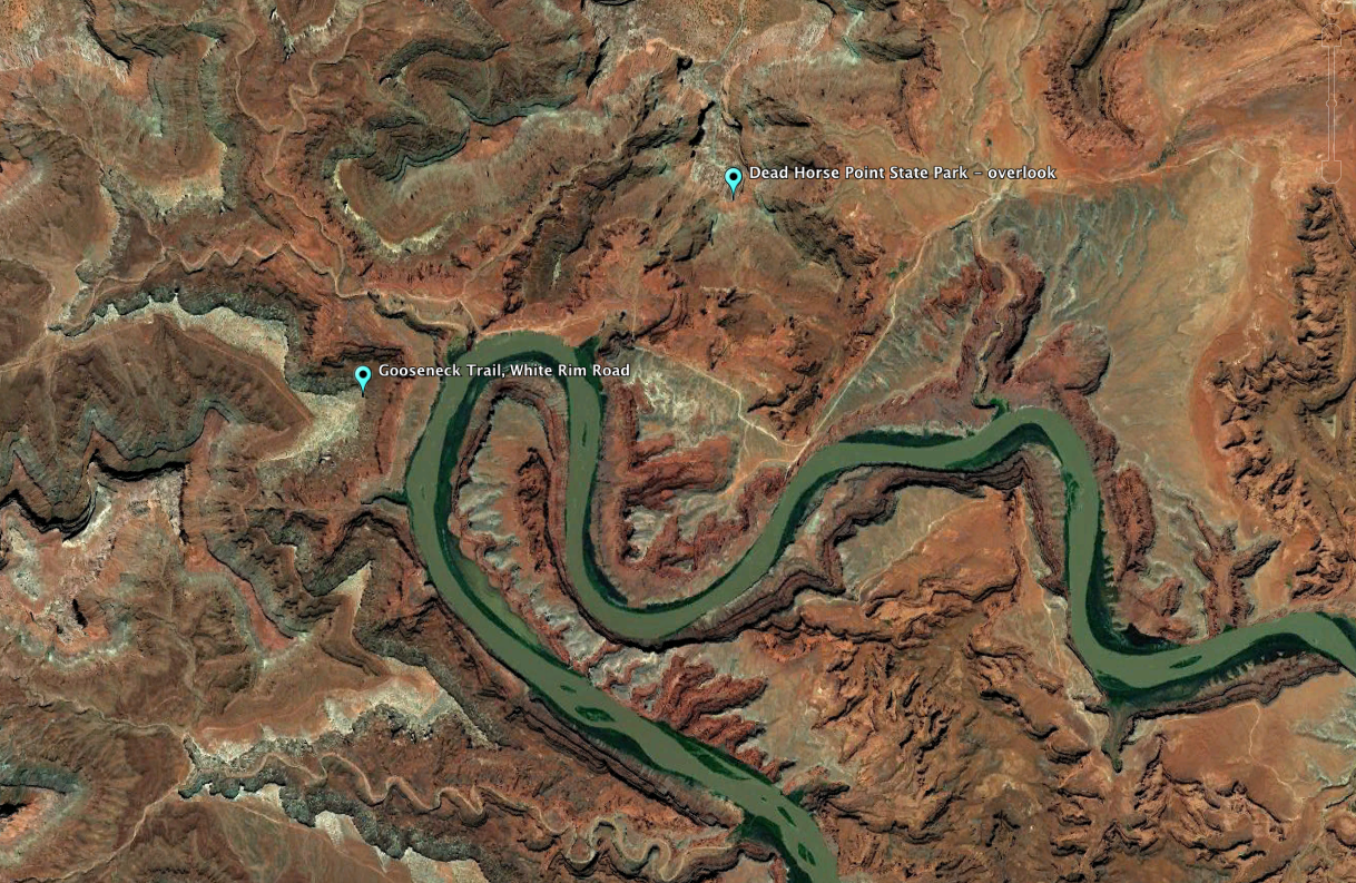
The Gooseneck is a sharp bend in the Colorado River about 13 miles west southwest of Moab, Utah. At Dead Horse Point State Park, there is a fine view of the surrounding terrain from the mesa above, and closer views of the Gooseneck are afforded from the White Rim Road and Schafer Road down in the canyons carved by the River.
Dead Horse Point and the Gooseneck from the northeast, at the overlook at Dead Horse Point State Park. The point of view of the image below is indicated by the blue arrow.
From the northwest side of the Gooseneck, down on the White Rim Trail. The point of view of the image above is indicated by the blue arrow.
From 37,000 feet, the relative positions from which the two photos above were taken.


